


The Pinhook Farm Water Journey: Dialogue About How Our Water Impacts Others
Following our water to the Missouri


Pinhook Farm, Clarinda, Iowa. July 28th, 2024.
Understanding the journey the water on my farm takes, starts upstream.
The water that comes to Pinhook Farm originates from a corn field on the ridge above our farm. The practices on this farm are exceptional, no-till, riparian buffers, and grass waterways. I am lucky to have good neighbors who use good practices upstream of me.

This is where the water leaves my neighbors farm before coming to Pinhook farm, as you can see there isn’t corn right up to the stream and hopefully this buffer protects the stream from the chemicals and nutrients used to grow the crops.
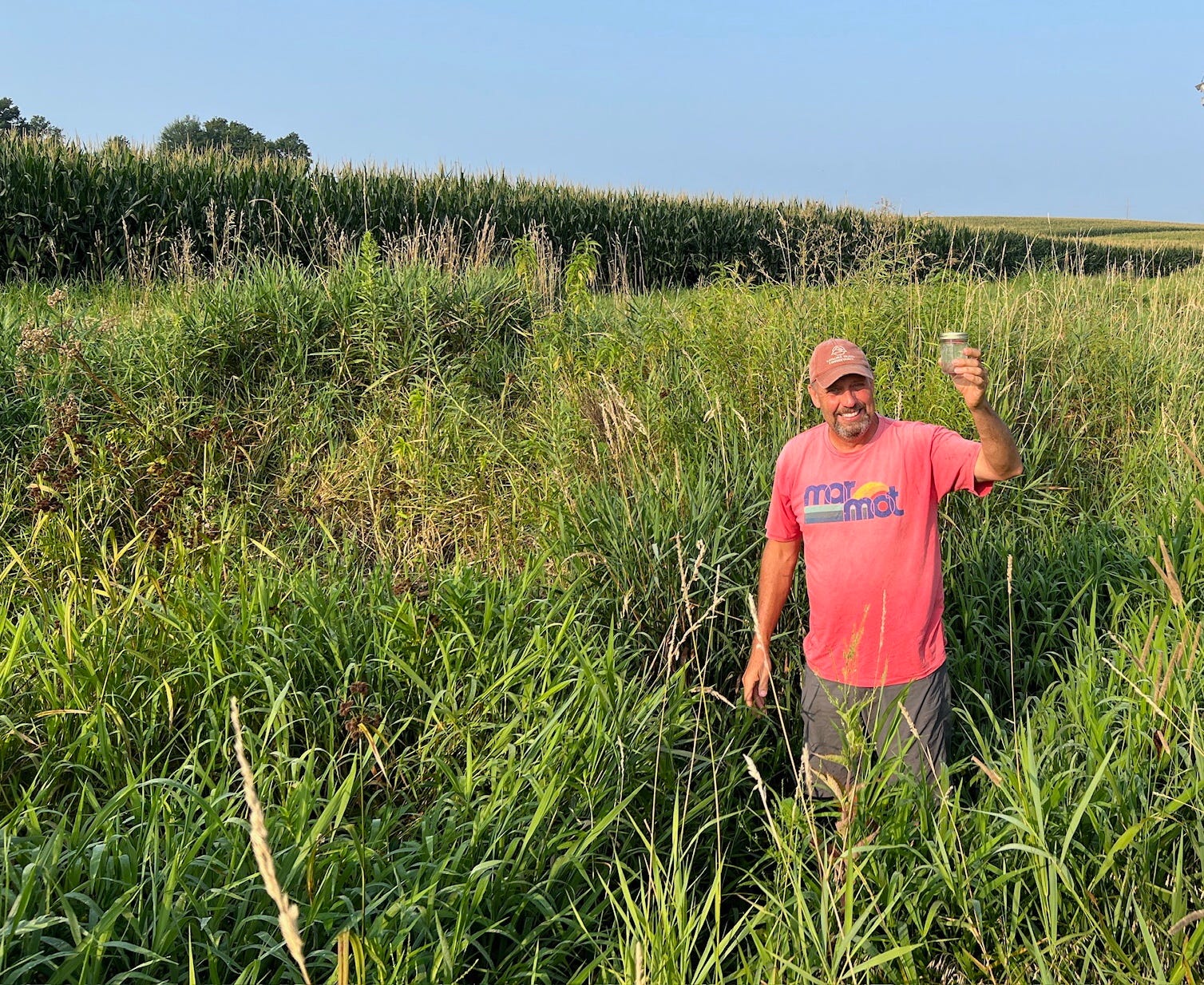
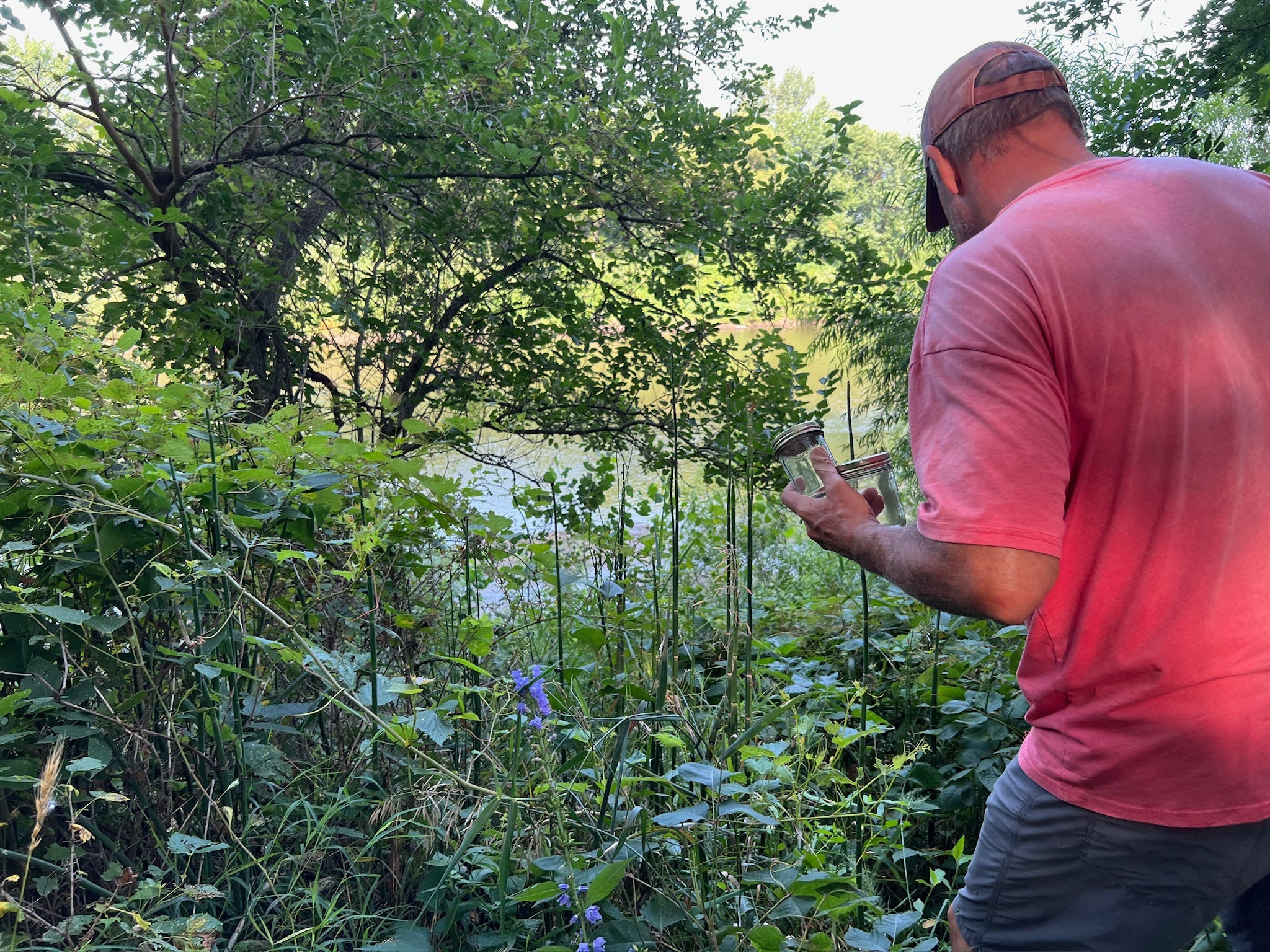
The water then travels through my other neighbors pasture and this sample was taken where it begins to flow onto Pinhook Farm.
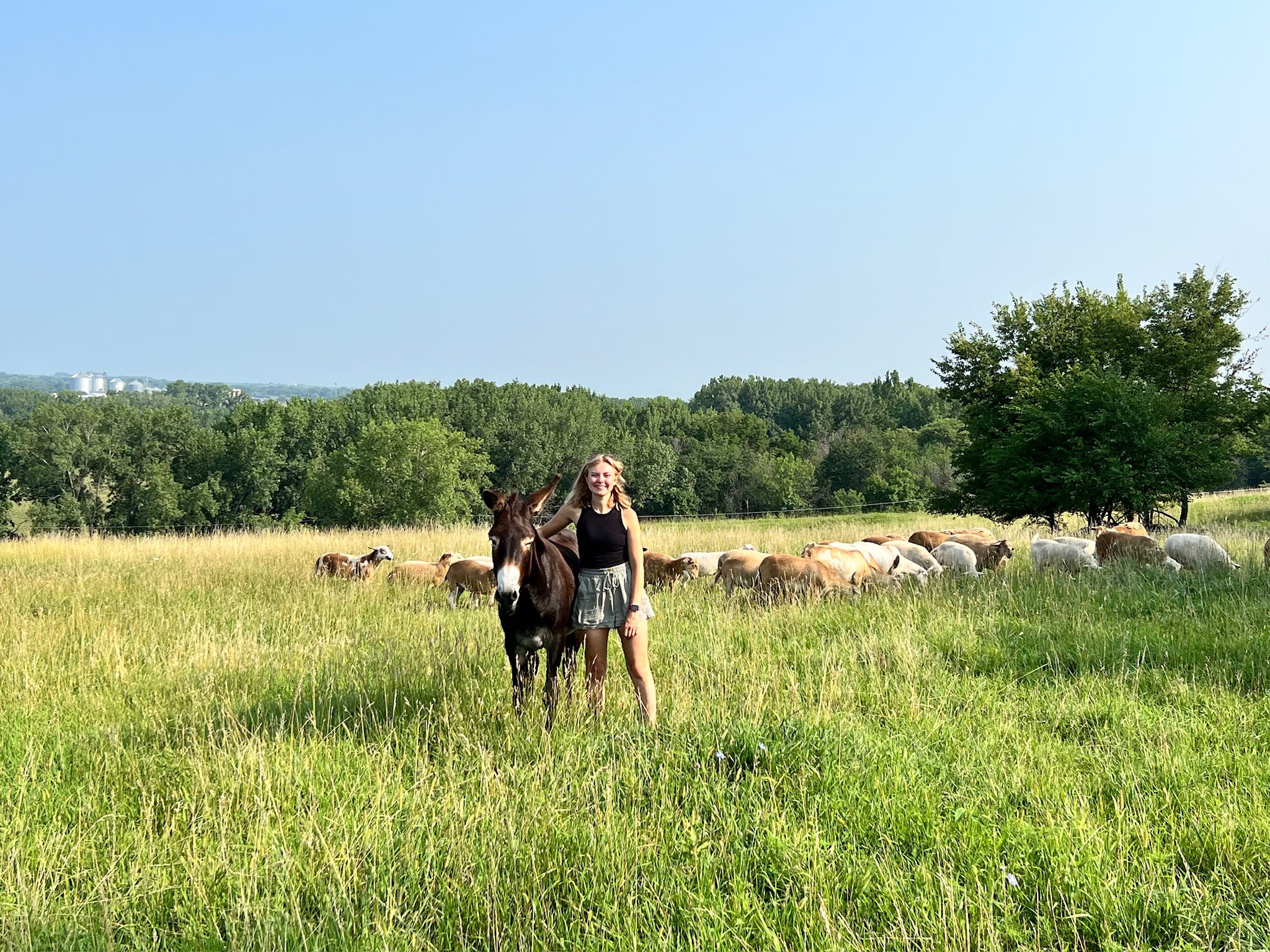
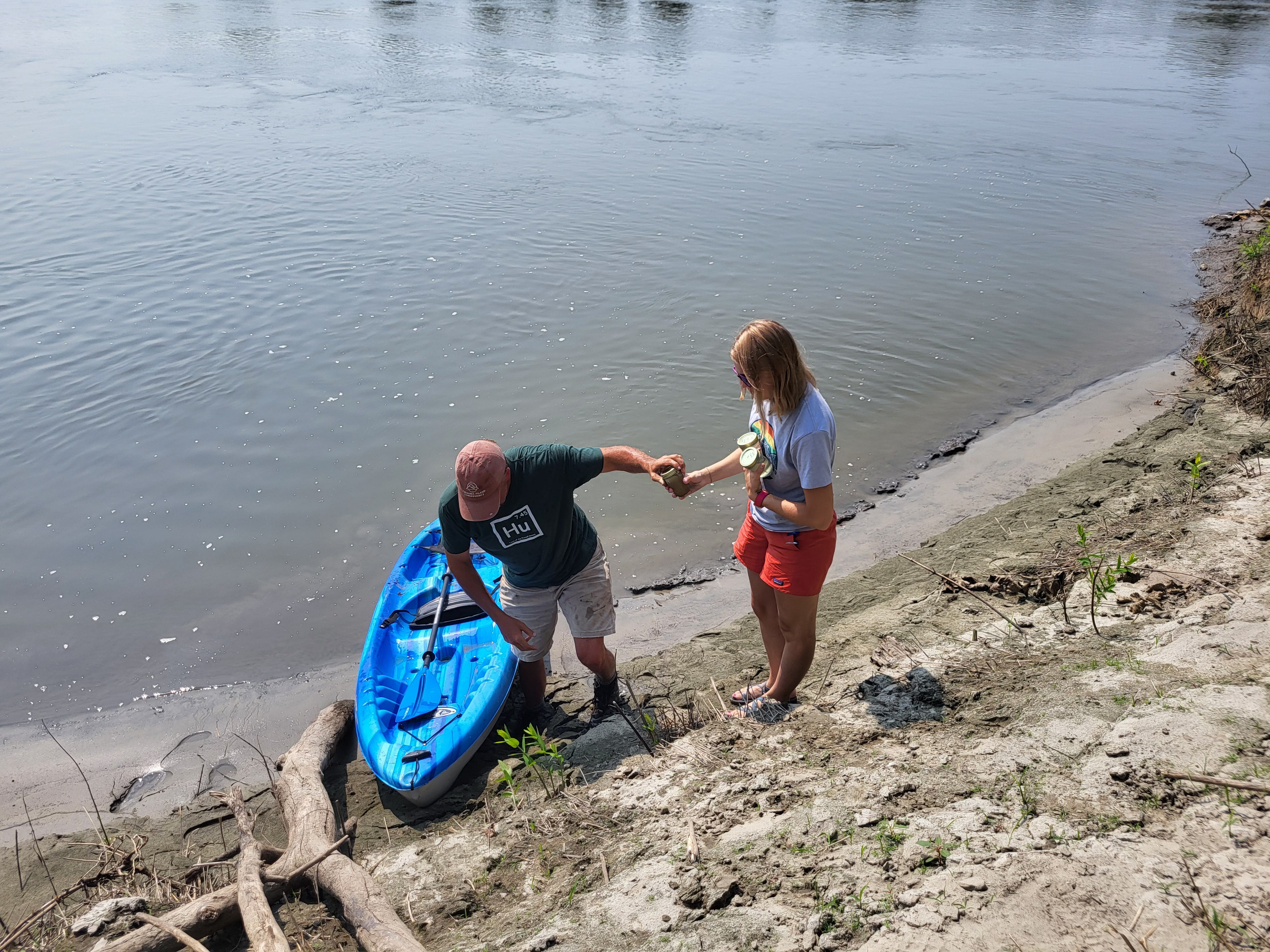
The stream then flows through Pinhook Farm where we raise beef cattle and sheep. Here’s my daughter Tatum, who I could never have done this project without.
Our next sample comes from the stream at the bottom of the hill.
The next stop is the Nodaway river. At this point, it is becoming clear to me how inaccessible even local rivers are.
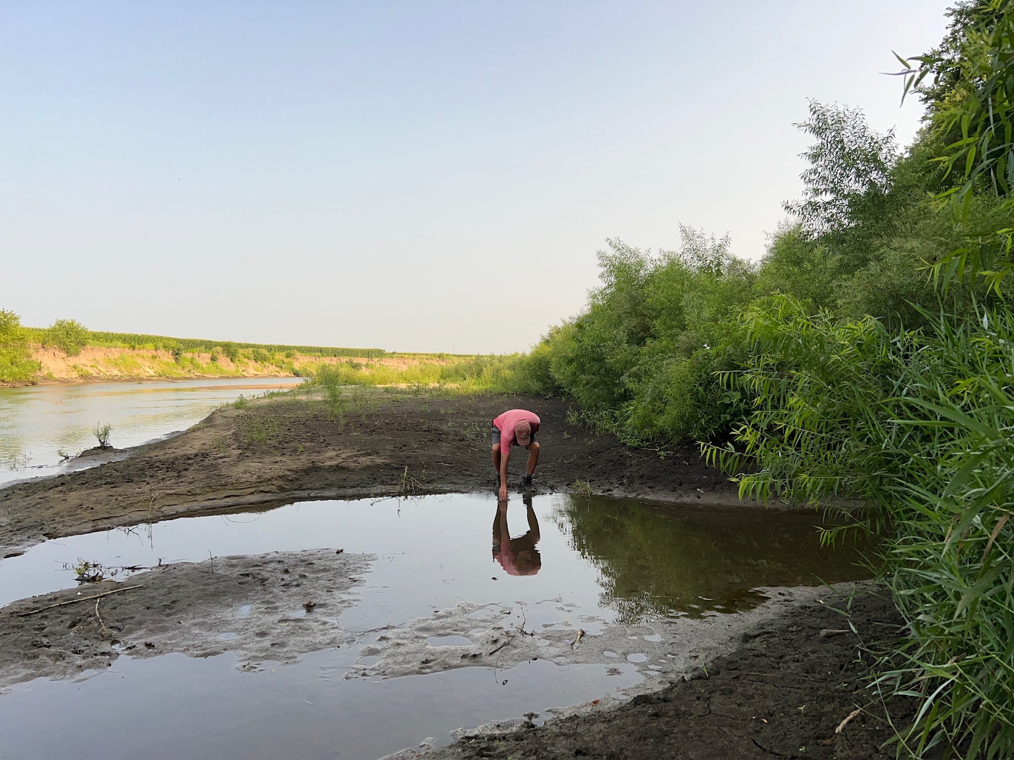
This is the confluence of the stream that flows through my farm and the Nodaway River, less than two miles from the source on my neighbors corn field.
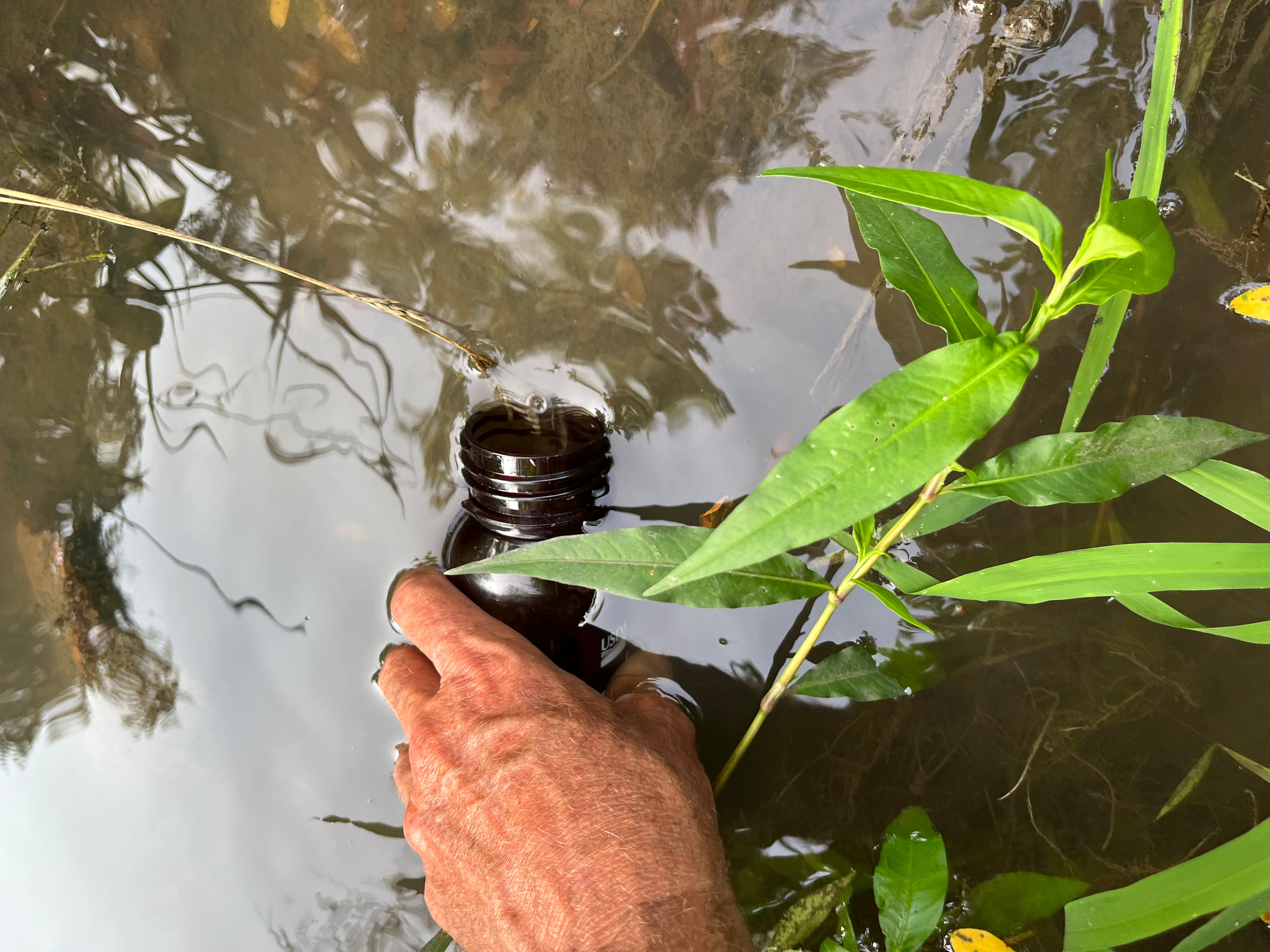
When we take our samples, we are taking samples at the source, upstream, and downstream of each confluence.
Here we are the park that allows river access to the confluence of the Missouri and the Nodaway. As you can see, access is a strong word for this.
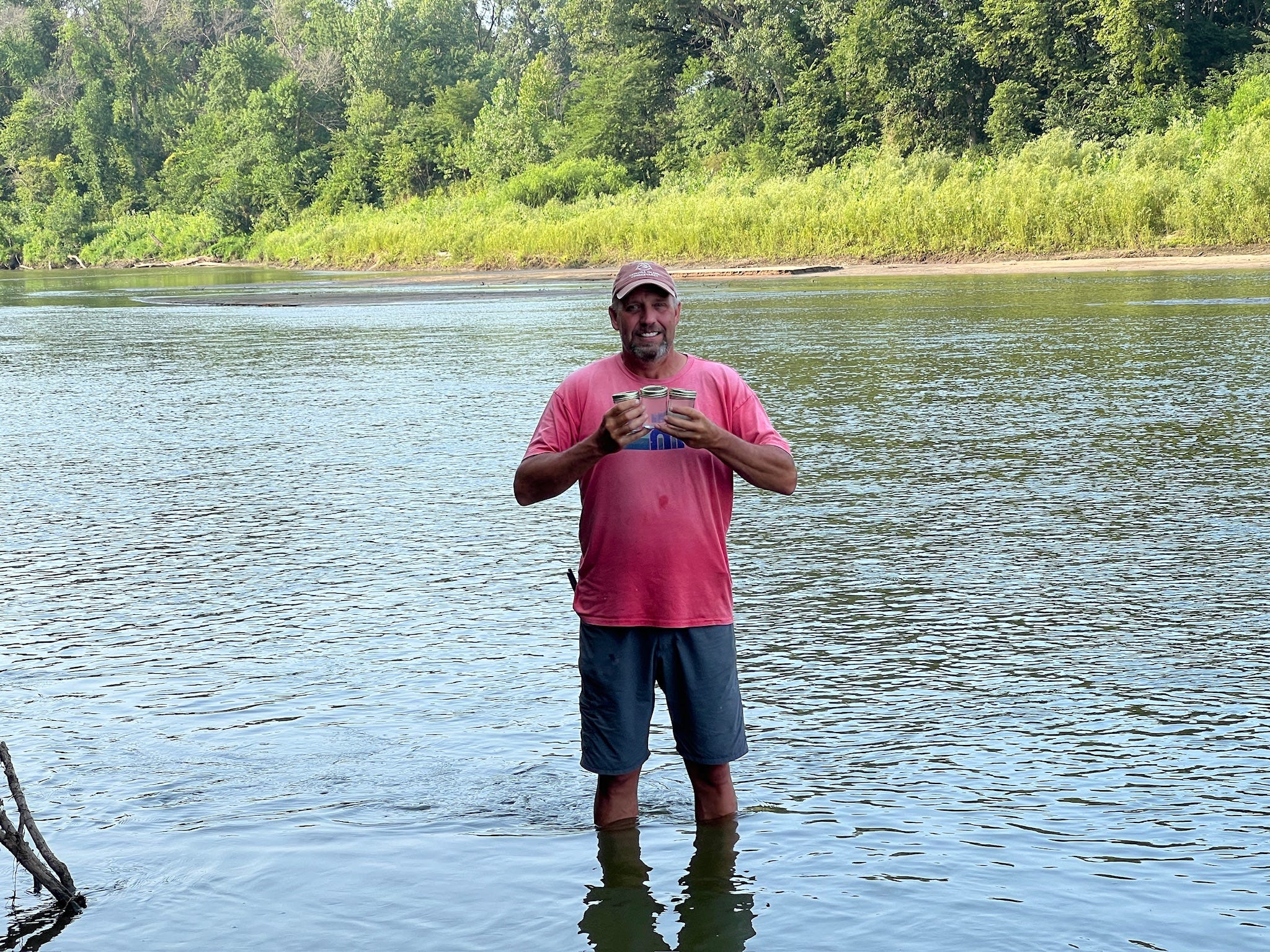
Obtaining water samples is not for the faint of heart. I am still shocked by the number of fish I encountered at each confluence (if any of my DNR or ecologist friends want to weigh in on this, I’d love to learn more).
Finally, our successful collections. Now, onto the confluence of the Mississippi and Missouri.
Originally we planned to obtain all three Missouri-Mississippui confluence samples at EDWARD "TED" AND PAT JONES-CONFLUENCE POINT STATE PARK, but due to flooding we were only able to obtain our upstream sample here. Here you can see the Melvin Price Lock & Dam #26, on the Mississippi, just upstream from the Missouri confluence.
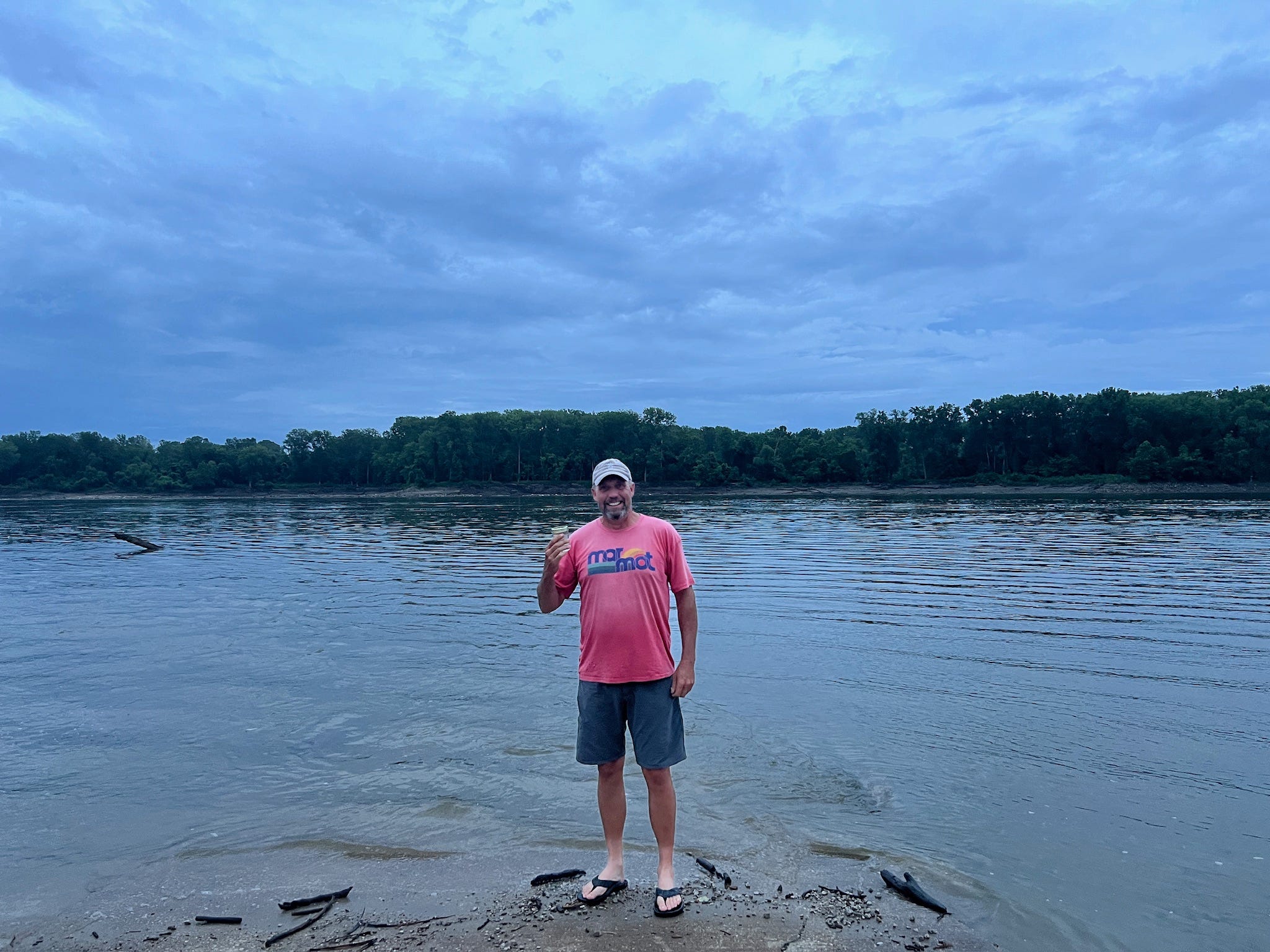
With less than an hour of daylight left, I found one of only a few access points to the Missouri River in the Saint Louis metro in St. Charles.
A few closing thoughts:
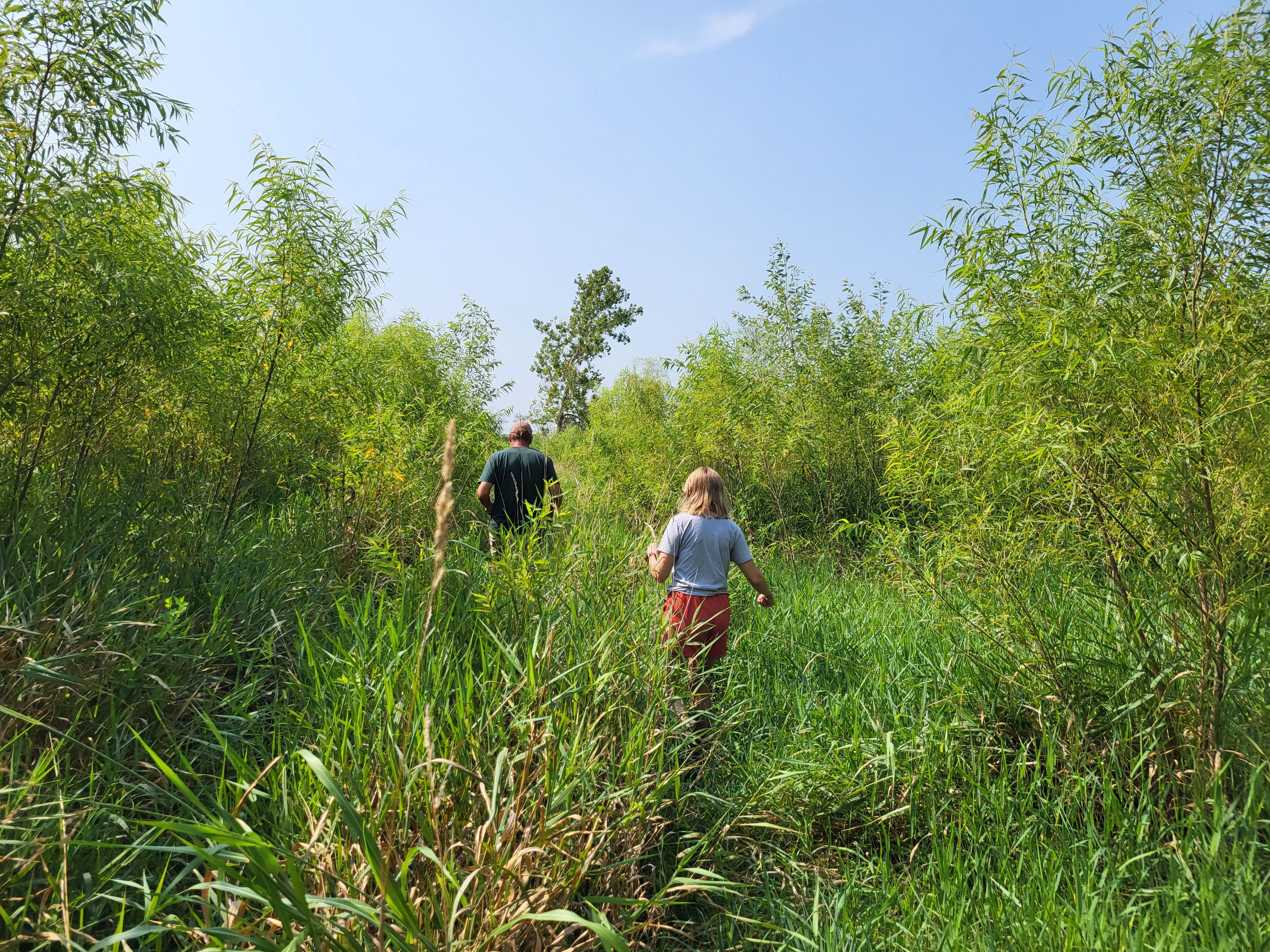
Spending the day gathering the samples, I quickly learned that many of our rivers are nearly impossible to access. I now find myself wondering how the lack of access has impacted our connection to the rivers and our attitudes about them. Most of all, it has made me really appreciate the work my friend, Hannah Inman is doing with the Icon Water Trails, a project that will help connect people in Des Moines and Central Iowa to the water.
If you are interested in learning more about testing the water in your streams, the Izaak Walton League is doing a great training at the Iowa Water Summit this fall.
More tomorrow.
At the end of our journey, all water samples will be tested by the Iowa Hygienic Lab and I will present about this at the Iowa Water Conference at the University of Iowa on September 11th. As you follow along, please share with me what you would like to know more about.
 | A guest post by
|
I am so interested to hear what happens. I am also curious about testing for glyphosate in the water--is that done? I always wonder if it carries off other farms and into our ponds, or if the impact shows up chemically in a different way.